Too Much Rain in Washington State
November 1, 2014
Big surprise, too much rain in the "Rain Sate" this week. Most rivers are in pretty rough shape right now but we're on the rebound. Today's blog post is a river update, but I mostly want to encourage you to click around and see the different resources for understanding river flow. Some are simple gauging stations that report the flow, but they also have things like the historical average, historical maximum, minimum, and there are even some prediction charts that incorporate the expected weather and attempt to predict what the rivers will do. All of this is great info, so in addition to an update click the links below. All of these are available through our Services and Resources page.
River Reports
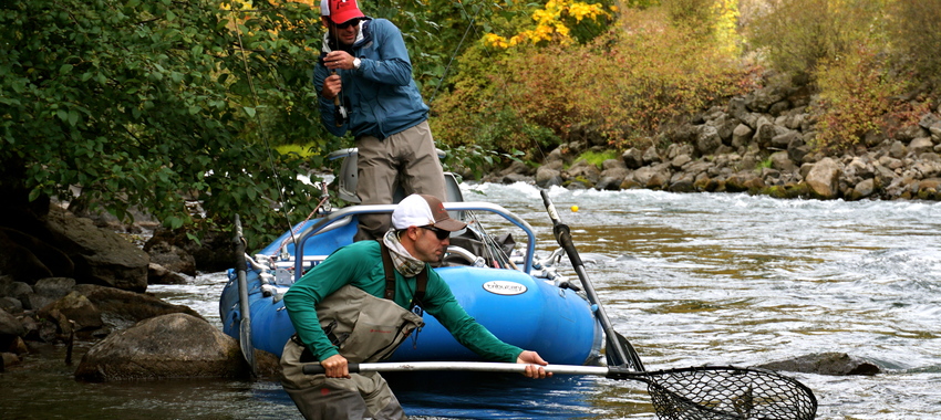
The Yakima has been one of the few streams to stay in fishable condition but it took a big bump in flow yesterday as well and wasn't looking too great by the end of the day yesterday. Fortunately today its on the drop and by mid-day we expect the Lower Canyon to be back in good condition.
Quick Links for River Flows and Prediction Charts
- Klickitat River Flows at Pitt, WA
- Naches River Flows and Prediction Chart (above the Tieton River and Rattlesnake Creek)
- Wenatchee River Flows at Peshastin, WA
- Wenatchee River FORECASTED FLOWS at Peshastin, WA
- Methow River Near Pateros, WA
- Methow River FORECASTED FLOWS at Pateros, WA
- Yakima River Flows at Umtanum
- All USGS River Flow Graphs for Washington State Rivers and Streams
Yakima River Flows and Conditions
- Yakima River Flows at Umtanum
- Yakima River Basin and Reservoir Storage Diagram
- Yakima River Flows Near Horlick, WA (this is about 10 miles above Ellensburg, Swauk Creek area)
- Yakima River Flows at Cle Elum, WA
- Yakima River Flows Near Easton, WA
- Cle Elum River Flow Below Lake Cle Elum
- Teanaway River Flows (this is the tributary stream that affects the Yakima the most during spring runoff)